
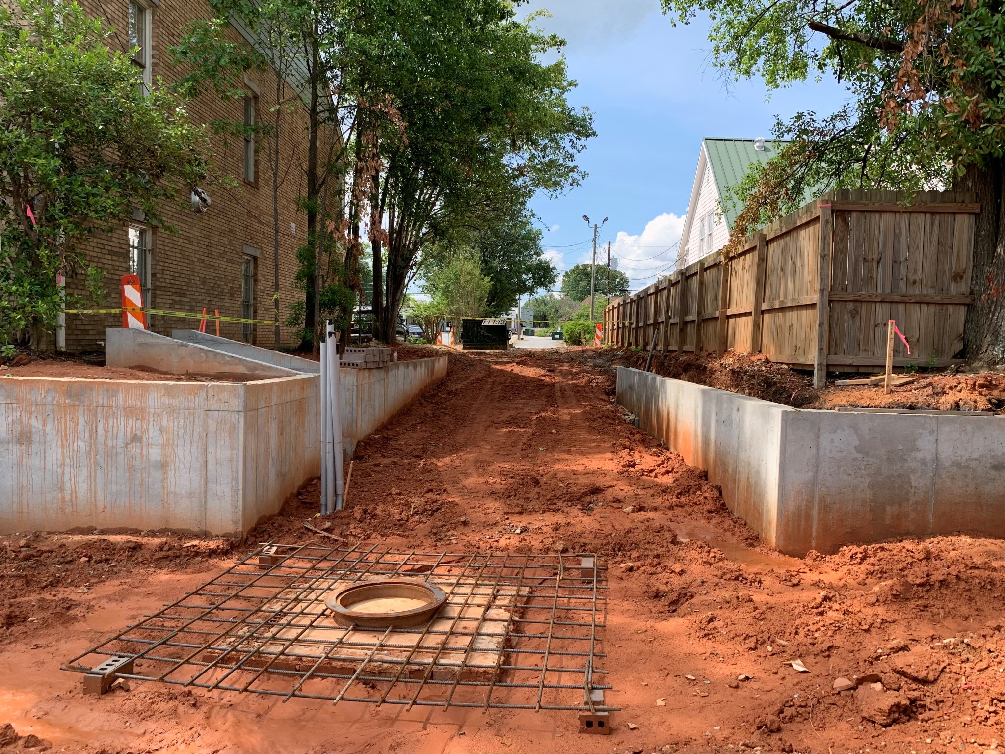
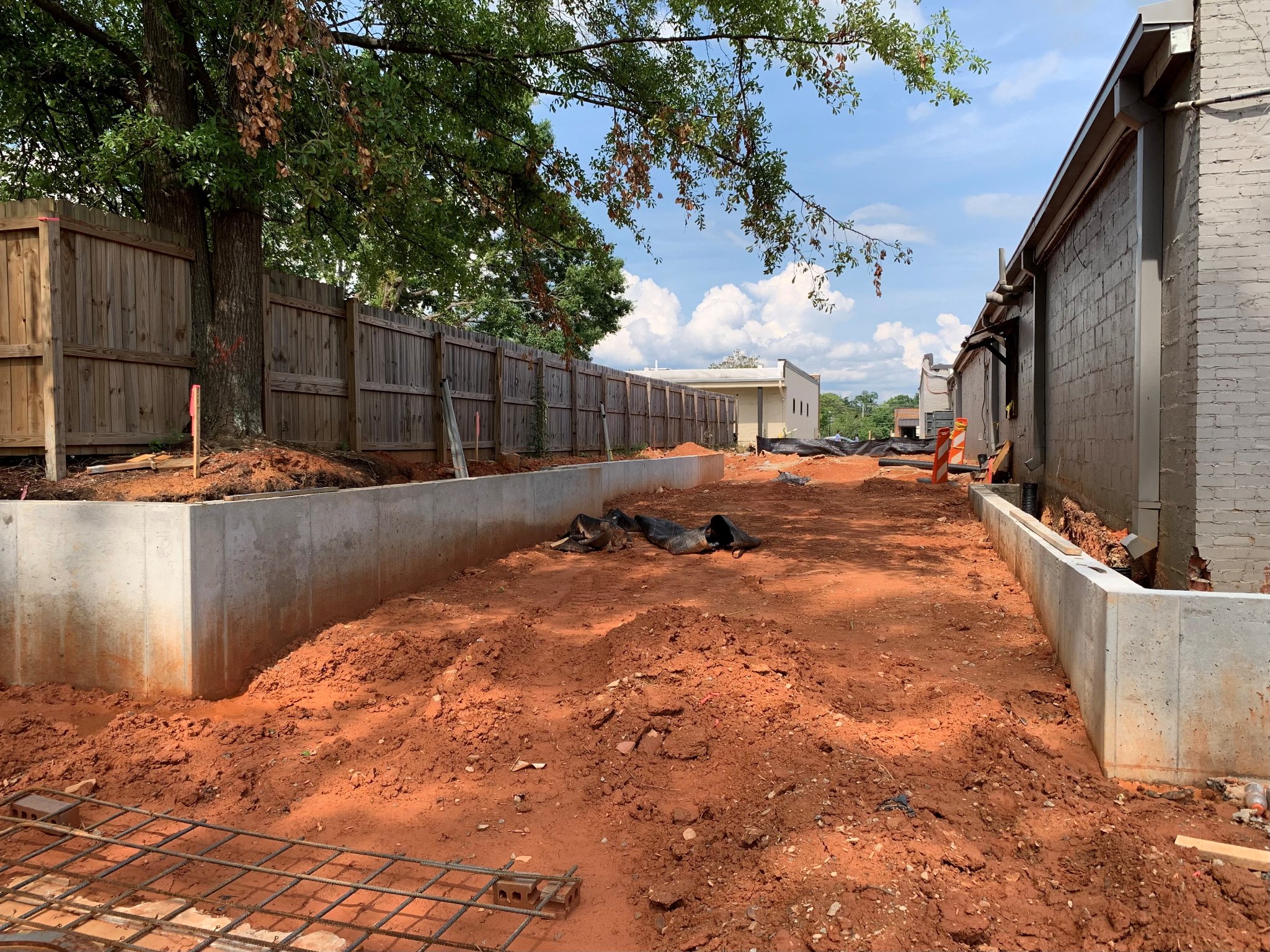
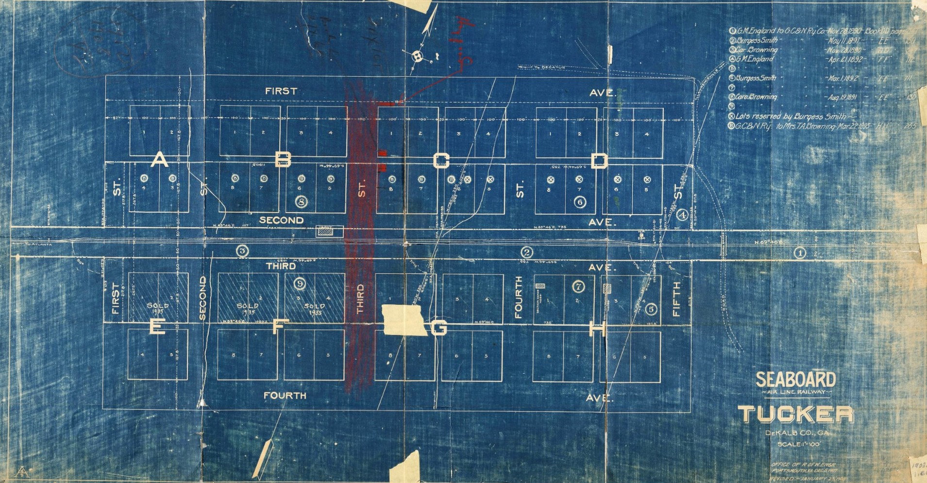
Here are a few photos of the recent progress on the trail through the alleys, on B block, in Downtown Tucker. “B” block is west of Main Street between First Avenue and Railroad Avenue. Where did the name B block come from? Each of Tucker’s original eight blocks were assigned a letter, A through H. When completed, this section of the trail will follow the approximate path of the original alleys from 1892, across A and B block.
The intersection of the two alleys currently under construction, one running east and west, the other north and south, will be a place to meet friends and family away from the street and at the gateway to the future town green. Eventually the entire 32-mile trail system will flow into the alley grid in Downtown Tucker.